One of my favorite exclaves is the Dakota Thumb, which existed for five years in the Bitterroot Mountains, where a part of the Dakota Territory lay separated from the main part of Dakota by about 365 miles!
In 1838, the northeastern part of the original Louisiana Territory, those lands lying between the Mississippi and Missouri Rivers, north of the state of Missouri, became a very large Iowa Territory.
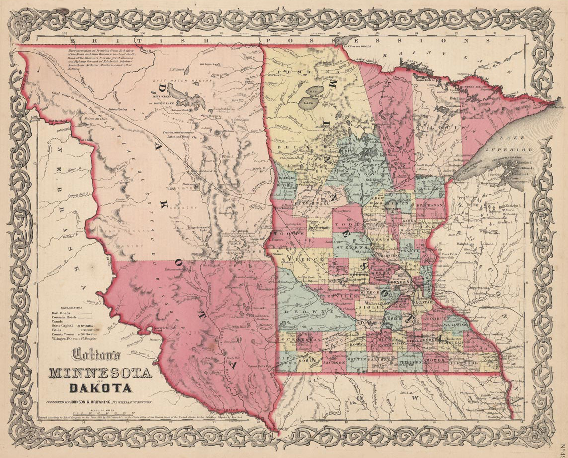
Eight years later, the southeastern part of the territory was admitted as the state of Iowa, with the remainder of the region—those lands between the Mississippi and Missouri River north of Iowa, becoming the Minnesota Territory in 1849.
In 1850, the vast lands north of Texas between the Missouri River and the Continental Divide were unorganized, with no formal government. The 1854 Kansas-Nebraska Act created two large territories in this area, with a vast Nebraska Territory consisting of all the lands north of the 40th parallel that lay west of the Minnesota Territory and east of the continent divide.
Four years later, the eastern part of the Minnesota Territory was made into a state, with the western part being left legally unorganized, though a provisional government for a territory to be called Dakota was set up.
It wasn’t until 1861 that the Dakota Territory was officially created, but when it was created it was much larger, encompassing not only what had been the western part of the old Minnesota Territory, but also that part of Nebraska Territory north of the 43rd parallel.
At about this time, gold was discovered in the eastern part of Washington Territory (which basically surrounded the state of Oregon in the northwest) and as new emigrants moved into the area, it was decided in 1863 to create a new territory—-called Idaho-—which included not only the eastern part of Washington Territory, but extended well to the east, as far as the 104th degree longitude. This included what had been the western part of the very large Dakota Territory, leaving Dakota encompassing what is today North and South Dakota.
Within a year, miners in the eastern part of the vast Idaho Territory requested that a new territory be created for them. They were located on the eastern side of the Bitterroot Mountain Range and felt cut off from, and ignored, by the Idaho government located on the far side of the Bitterroots. Thus in 1864, the Montana Territory was created. Its eastern border was the old Idaho Territory with Dakota down to the 45th parallel. The southern border followed this line of latitude to 111 degrees west, then turning south for half a degree (44°30’), where it turned west again until it ran into the Continental Divide in the Bitterroots. From thence it ran along the crest of those mountains until it intersected the 116th degree line, which it then followed to the Canadian border.

Idaho’s border was also redrawn south of the 44°30’ line. It followed the Bitterroot range as far as the 100th degree, at which point it dropped straight south until it intersected with the Utah border. This left an almost-rectangular shaped section of land south of Montana—-which had been part of Idaho Territory-—which now was attached to Dakota Territory, giving it a strange butterfly-like shape.
The re-enlarged Dakota was not only very large, but its strange shape was impractical, so in 1868, the southwestern block was separated to become Wyoming. This territory was created as a rectangle, with the eastern border simply continuing the Montana border down to Colorado, thence running along the 41st parallel to the 111th meridian, which the border then followed up to the Montana border at the 45th parallel.
This all sounds very reasonable, but a small exclave was created because of how the borders of Wyoming, Idaho and Montana were defined.
- Wyoming’s western border was the 111th meridian
- Idaho’s border followed the Continental Divide until it intersected with the 111th degree line
- Montana’s border followed the 111th meridian to 44°30’, whence it turned west until that line intersected the continental divide.
The map above shows how Wyoming would have looked if Congress had not determined to make it a rectangle. That little pointed bit at the left is the area which would have been included in Wyoming, but was not.
That little wedge of land was actually left out of all the territories because the Continental Divide runs into the 111th degree line south of 44°30’. As it had been part of the Dakota Territory previously, and the new borders didn’t change its status, this little “thumb” of land remained part of Dakota, detached and well west of the rest of that territory. Very few maps show the thmub; the detail above comes from the 1868 GLO map of the United States. The thumb remained as part of Dakota until 1873, at which time it was given to Montana.