
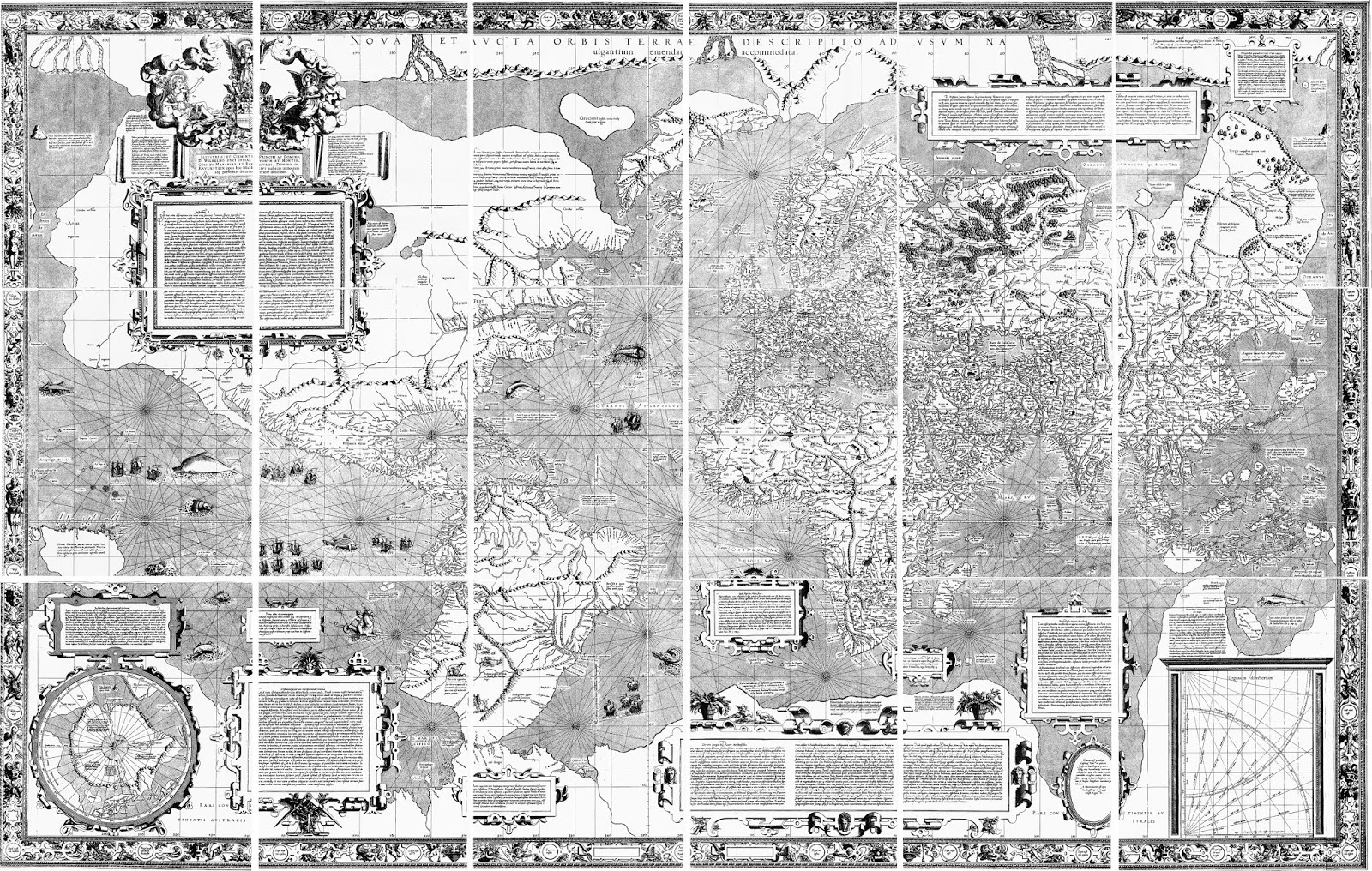


Describing the geography of the polar region, Mercator wrote to John Dee, an English scholar and mystic, that “In the midst of the four countries [that is islands] is a Whirl-pool...into which there empty the four Indrawing Seas which divide the North. And the water rushes round and descends into the earth just as if one were pouring it through a filter funnel...Except that right under the Pole there lies a bare rock in the midst of the Sea. Its circumference is almost 33 French miles, and it is all of magnetic stone...”
Mercator shows this geography very clearly, with the four islands separated by the rivers and the large magnetic rock sitting on the pole itself, over the whirlpool where the waters descend into the interior of the globe. Other bits of information depicted by Mercator, also taken from the Inventio, include the legend that “pygmies, whose length is four feet” live on the island above Scandinavia, and another legend on the island to its left, stating it is “the best and most salubrious in all the north.”
Obviously, this is mythical geography, though the Inventio Fortunatae may have been based to some extent on first-hand reports by Ivar Bardarson, who was a priest from Greenland who traveled widely in the eastern Canadian Arctic in the early fourteenth century. Whether the story of the waters of the world passing through four rivers and then into the whirlpool was a confused misreading of Bardarson’s reports, or an illusionary creation of the Inventio’s author cannot be known.


and the myth of the great continent at the South Pole.]


